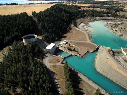
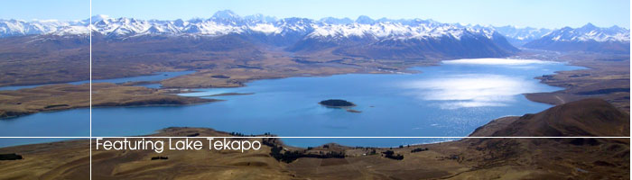
Feature on Lake TekapoAerial images of Lake Tekapo and its neighbours Over the past few years Tekapo Tourism has joined Air Safaris on several scenic flights around Lake Tekapo and the Mount Cook and Westland National Parks. Here are a small collection of images captured over that period. Tekapo A power station with the village and lake in the background
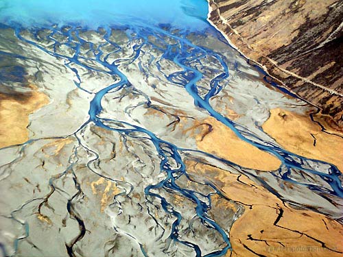
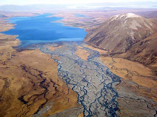
The braided Godley River meets Lake Tekapo
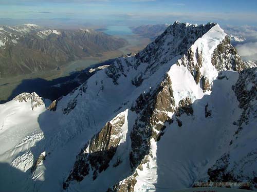
Lake Tekapo and the Southern Alps. The peak of Mount Cook (Aoraki) is visible as the highest peak on the horizon.
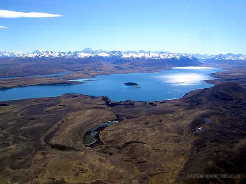
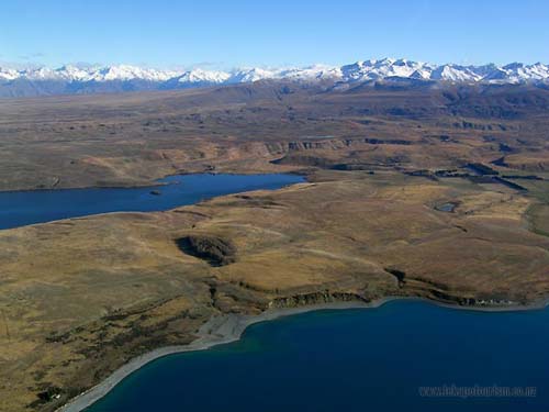
Lake Alexandrina and Lake Tekapo. Giant glaciers once carved the terraces now visible against the mountains in the background.
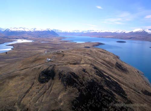
Mount John with the University of Canterbury's Observatory on the summit
The Godley Valley looking south towards Lake Tekapo
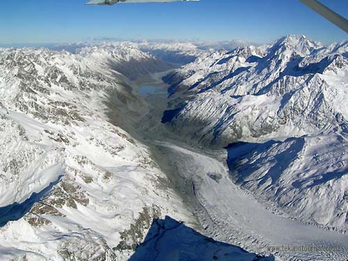
The Murchison Glacier and Malte Brun Range neighbours the Godley Valley. The Murchison Valley joins the Tasman Valley near the base of Mount Cook (Aoraki)
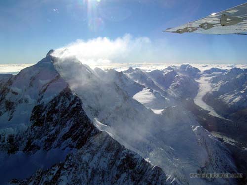
High altitude winds blow snow from the peaks of Mount Cook in the afternoon sun
Mount Cook (Aoraki) with Lake Pukaki in the background
The Godley Valley looking north towards the Southern Alps
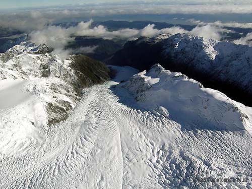
The West Coast's Fox Glacier is only a 15 minute flight from Lake Tekapo. Millions of tons of ice slowly cascade down from the peaks of the Southern Alps and terminate within the sub tropical rain forests of the South Island's West Coast.
View our Feature Archive for past features on Lake Tekapo
|

 |